Know Your Hazard/Risk
Know your hazard:
Flooding is the most common natural disaster nationally. Nearly 9 out of 10 presidential disaster declarations result from natural phenomena, of which flooding is a major component. In terms of both loss of life and property/crop damage, it has been recorded that floods account for more losses than any other natural disaster in the country. The two types of flooding associated with rivers and streams in Carroll County are “flash” and “riverine.”
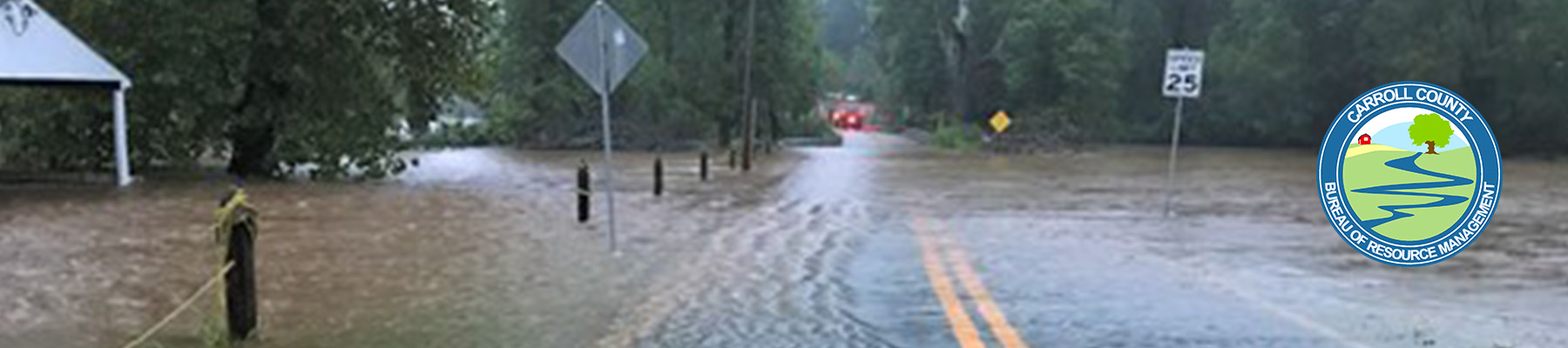
Flash floods occur suddenly with tremendous force, usually as a result of torrential rainfall over a short period of time. With little or no warning, a peaceful stream can become a raging torrent capable of carrying away large objects such as boulders, trees, houses, trailers, cars, and people. The potential for flash flooding increases dramatically if the ground already is saturated from previous rainfall. Flash floods also can occur from a sudden release of water from a dam failure or breakup of an ice jam. Carroll County is among the jurisdictions in Maryland considered at the highest risk for flash flooding. Flash flooding poses a higher risk for the county than riverine flooding because Carroll County is predominately a headwater stream area, not a river valley system that conveys flows from other counties and states.
Riverine flooding is caused by a different set of conditions. Persistent moderate or heavy rain over one or more days, sometimes combined with snowmelt, can cause a river to slowly rise and overflow its banks. It may take several days to even weeks for rivers to rise over their banks, providing enough warning for people to move to higher ground. However, river floods can last for weeks and can inundate very large areas or entire regions. The 1993 Upper Mississippi River Basin flood, affecting nine states with damages around $14 billion, is a classic example of a river flood affecting a large region.
The areas at the greatest risk of impact from riverine flooding are those that fall within the one-percent-annual chance (100-year) floodplain. Since FEMA-mapped floodplains provide an already existing source of data, the effective Flood Insurance Rate Map (FIRM) for Carroll County was used to delineate the hazard areas for riverine and flash flooding. The FIRM is designed to serve FEMA’s needs for disaster response activities, risk assessment, and floodplain management. The FIRM is used for a variety of planning applications, including broad-based review for floodplain management, land-use planning, commercial site analysis, insurance target marketing, natural resource/environmental analyses, and real estate development and targeting.
In Carroll County, the areas that are most often flooded are Union Bridge, Detour, Patapsco, and Union Mills.